ABSD speeds renewable energy progress with LiDAR surveying
- August 14, 2024
- 0

In support of the country’s commitment to reaching the renewable energy target by 2030, AB Surveying & Development, a geosystems surveying development firm specializing in LiDAR surveying, offers a groundbreaking to land and marine surveying that significantly reduces the time required for project initiation.
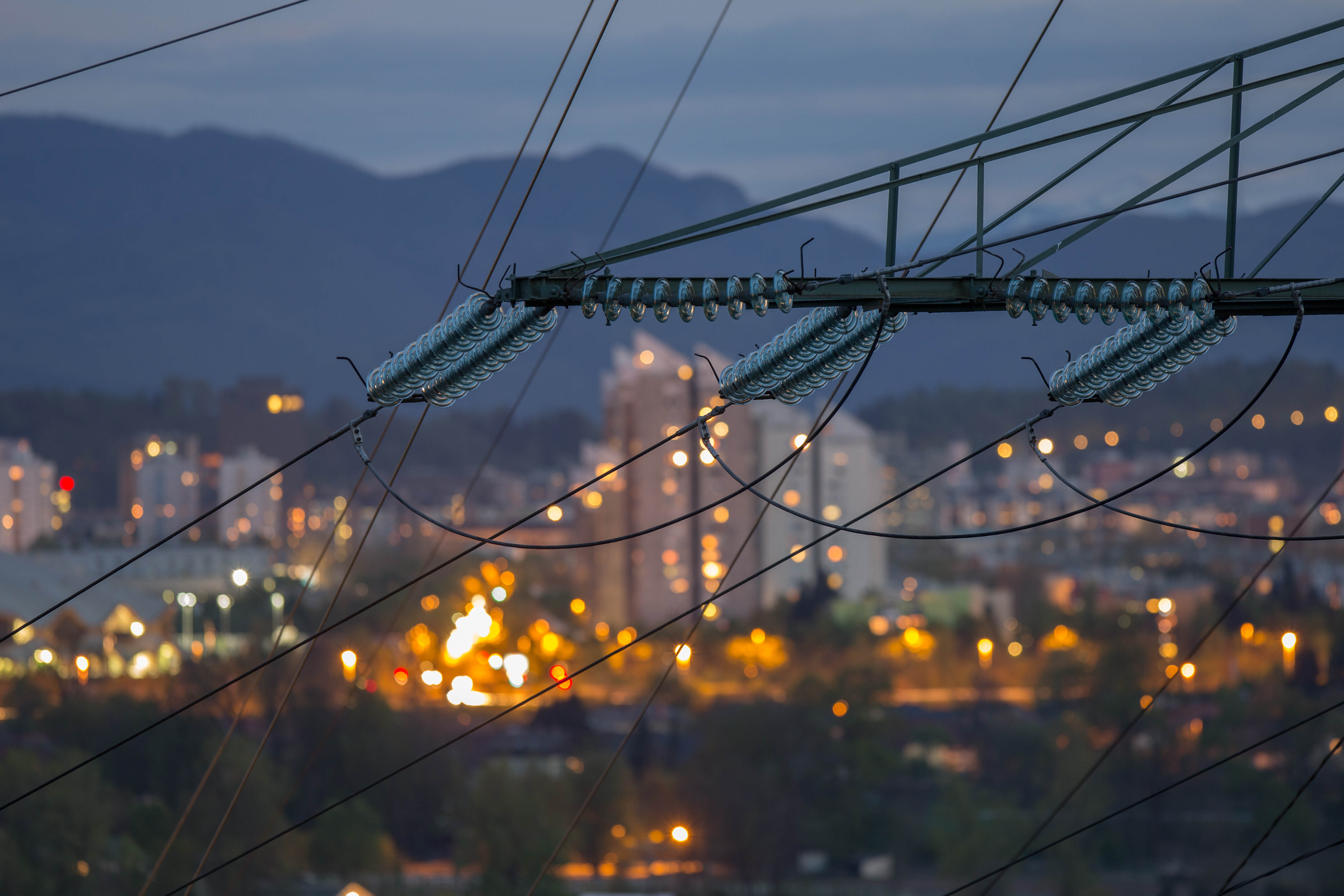
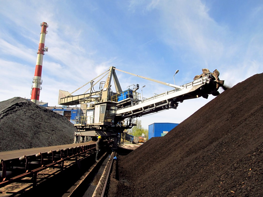
As renewable energy firms strive to meet the Department of Energy’s (DOE) ambitious 50% renewable energy (RE) target, timely land and marine surveying becomes a critical factor.
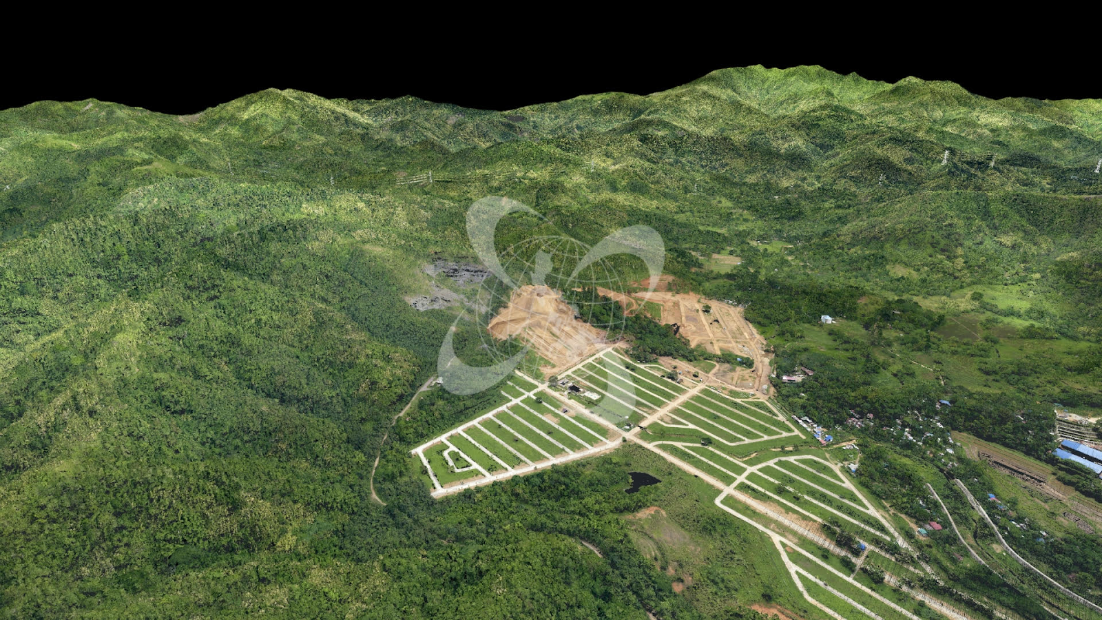
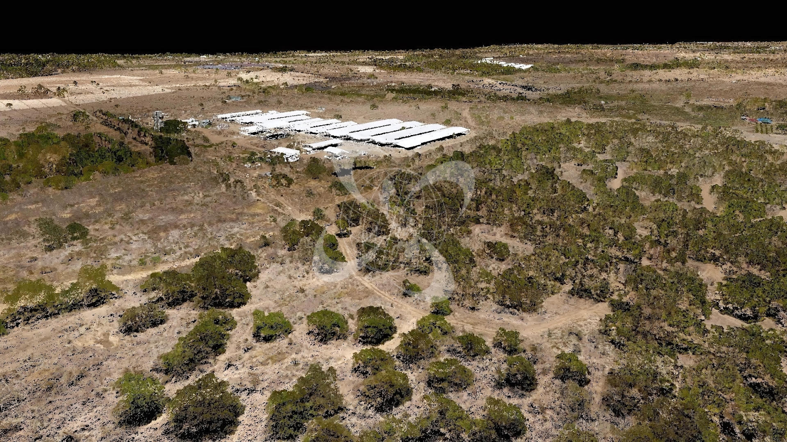
Traditional land surveying methods, which can take two to three years, pose a significant setback in developing RE projects, especially when surveying large areas like 1,000 hectares. However, AB Surveying & Development’s innovative LiDAR technology reduces this time to just under one month.
“Since LiDAR is a new technology, the conventional survey, it would take very, very tedious fieldwork. For example, before LiDAR was not yet available here in the Philippines, you have 1,000 hectares that you surveyed, I think it would take you maybe 2 to 3 years to finish that. But with LiDAR, since it’s moving, and it’s gathering light and millions of points, 1,000 hectares would only take you 4 hours,” said ABSD Sales Unit Manager, Engr. James Bryan Botor.
LiDAR, or light detection and ranging, measures distances using light or an infrared laser. This technology allows for rapid collection of data, with the ability to survey 1,000 hectares in just four hours. Furthermore, ABSD’s use of light detection and ranging guarantees both accuracy and efficiency, making it a preferred choice for renewable energy firms.
Engr. Antonio “Tony” Botor, ABSD founder and general manager, highlighted the efficiency of LiDAR in reducing bottlenecks during the planning stage.
“Conducting a conventional survey for building a windmill or solar farm can take three years to complete. By the time this is finished and the project is established, the map might already be outdated. However, using LiDAR technology, the same data can be gathered in just one month,” he said.
LiDAR surveying also enables companies to identify affected trees or communities and to determine necessary land purchases and permits without being on-site.
ABSD stands out as the first firm to offer LiDAR services in the Philippines and the only one using airplanes for surveying, specifically the fuel-efficient Cessna 172K complete with an in-house pilot for these surveys. This method ensures maximum fuel efficiency and safety, with custom-built brackets for the LiDAR instruments.
When asked about the efficiency of planes over drones, Engr. Tony Botor explained that drones have a battery life of about 45 minutes, whereas a Cessna plane can fly continuously for three to four hours, covering the entire project site in one flight.
Regarding accuracy, Engr. Tony Botor assured that the margin of error is minimal, ranging only around 2 centimeters. Additionally, LiDAR surveying is employing advanced software and dual-frequency GNSS equipment, ensuring high accuracy and precision.
Having completed over 200 LiDAR surveying projects, ABSD has established itself as a leader in the field, demonstrating the Philippines’ advanced surveying capabilities.
“We pioneered LiDAR in the Philippines, and our goal is to continuously enhance land surveying by offering advanced services such as LiDAR surveying,” said Engr. Tony Botor.
LiDAR technology offers substantial benefits for surveying, addressing critical factors such as time, cost, and accuracy, that ultimately affect a renewable energy project.
Apart from Aerial LiDAR, ABSD offers Bathy LiDAR surveying, which uses specialized lasers designed to penetrate water and gather necessary underwater data. They also have the VMZ-2000 LiDAR scanner, or the mobile LiDAR, which utilizes cars for surveying, and the terrestrial LiDAR, which reconstructs sites into a 3D model.
Elevate your surveying experience with AB Surveying & Development – where projects progress at the speed of light.