Floating LiDAR emerges as key tool for offshore wind development in the Philippines
- October 21, 2025
- 0
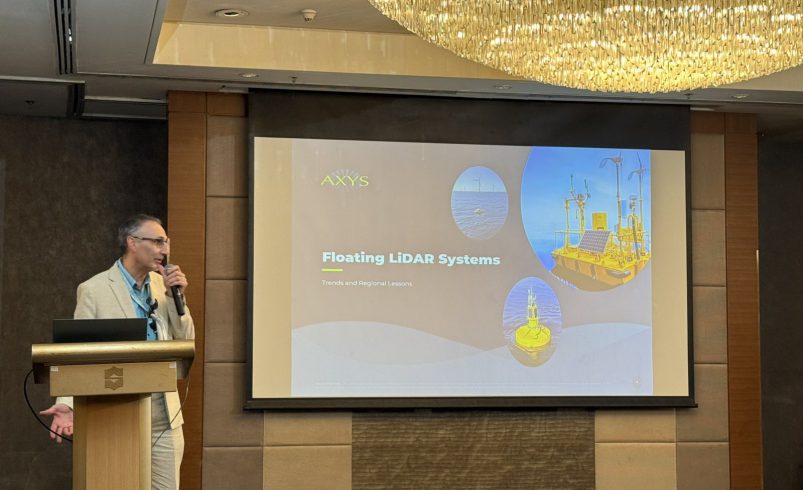
Floating LiDAR technology is quickly becoming the standard for offshore wind measurement and development worldwide, according to Max Bottoni, Vice President for Operations at AXYS Technologies, who spoke during the From Site to Signature: Accelerating Wind Energy Projects in the Philippines forum held on October 15 at Shangri-La Makati and organized by Philsurv Geodetic Services.
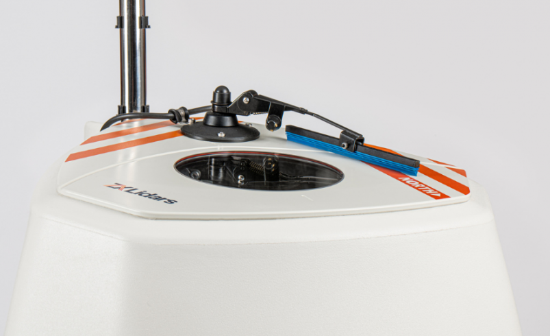
Bottoni said floating LiDAR is now a bankable and validated technology used by investors, developers, and regulators to support financial and engineering decisions for offshore wind projects. Originally seen as experimental, it has evolved into a low-cost and reliable alternative to offshore meteorological masts, capable of collecting both wind and ocean data.
He explained that the technology has reached a level of maturity where it can replace traditional meteorological masts at a fraction of the cost, often one-tenth to one-fifth the price. Beyond wind data, modern LiDAR buoys also measure wave patterns, ocean currents, and temperature. This helps developers plan site layouts and assess environmental conditions more accurately.

Globally, offshore wind capacity is expected to rise from 500 gigawatts (GW) in 2030 to more than 2,000 GW by 2050, driven by clean-energy goals and the need for energy security.
He said AXYS Technologies has supported LiDAR campaigns across Asia and other regions, which helped set standards for Stage 3 commercialization under the Offshore Wind Accelerator (OWA) Carbon Trust Roadmap. The company’s dual-LiDAR setups further improve data accuracy and reduce uncertainty, which are essential for project bankability and investor confidence.
Bottoni also pointed out several challenges specific to tropical and regional conditions. These include typhoons, marine growth, and interference from fishing activities. To address these, AXYS collaborates with local communities by sharing wave and surface wind data, which helps fishermen and port authorities plan safer operations.
He said the Philippine government’s push for offshore wind makes early adoption of floating LiDAR crucial for future projects, especially in dee
“Floating LiDAR has become the global standard for offshore measurement,” Bottoni said. “For countries like the Philippines and Vietnam, adopting it early will make projects more bankable, efficient, and aligned with national renewable-energy goals.”
How do you think the adoption of floating LiDAR will influence the growth of offshore wind projects in the Philippines?
Follow Power Philippines on Facebook and LinkedIn or join our Viber community for more updates.